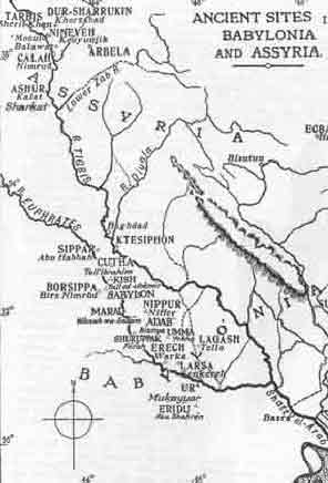
MESOPOTAMIA, ASSYRIA, AND BABYLONIA


This NASA Space Shuttle photo with the confluence of the Tigris and Euphrates Rivers at the Shatt Al-Arab. Darker areas indicate water or vegetation.  The shoreline has moved a number of miles south during the past four thousand years as wind and river have dumped sediment into the Persian Gulf at the bottom of the photo.  The desert was irrigated by canal.


 BRITISH MUSEUM MAP -- 1922

                                                     
Front Page     The Flood Legend Tablets     Life Along The River     Map     Conclusion